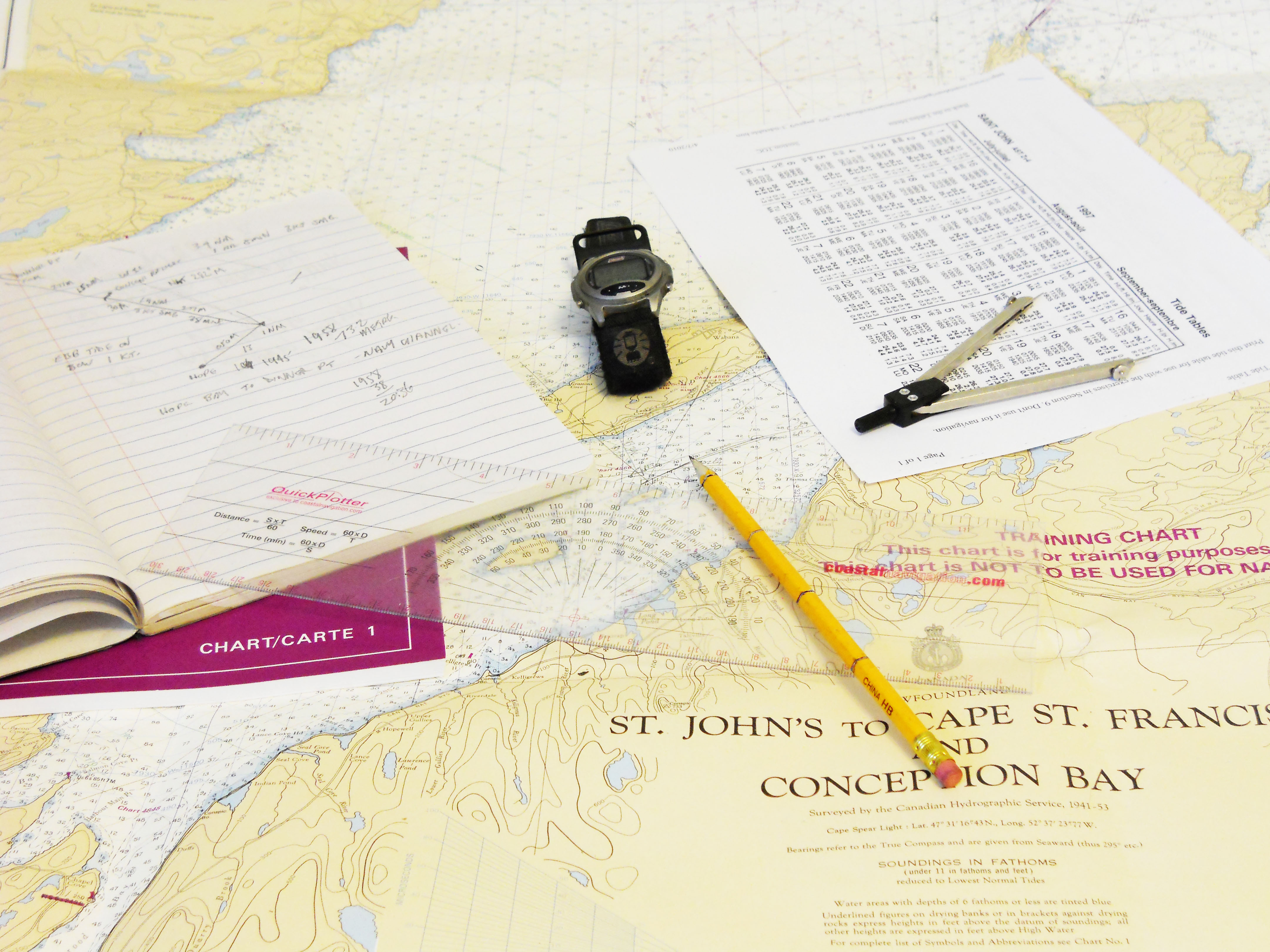
I suppose that I have spent most of my physical life on solid ground, but my heart and mind are normally floating around somewhere near the sea. I have been trying to organize my home office, and I have been coming across quite a few charts. No, these are not the charts that come in graph, pie, or bar form (though I do have quite a few of those too, displayed inside books or papers), but the big paper ones filled with pencil marks, contour lines, hydrographic information and buoy characteristics.
My husband is more connected to mountains that provide skyward contour information, but the tools used to navigate on both are similar.
 |
| [borrowed from http://www.chugachwildernesslodge.com/images/TopoMap.jpg] |
You need to measure things, so that you know how far that you have traveled over a certain time period.
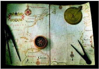 |
[borrowed from http://www.waterencyclopedia.com/images/wsci_03_img0369.jpg]
|
You need to be able to use a compass to identify high structures.
 |
| [borrowed from http://gruenagency.com/wp-content/uploads/2013/10/compass-old11.jpeg] |
You need range information (such as maritime ranges or lining up certain mountainous or man made structures), so you man make sure that you are on the right course.
The turtle parts mentioned in the title have to do with my prefered next turtle acquisition, the beautiful map turtle. Of course, I think it should be called the chart turtle, but you cannot win every fight, right?
.jpg) |
| [borrowed from http://www.theturtlesource.com/turtleContainer/Orange%20Miss%20map%20A(2).jpg] |
No comments:
Post a Comment